News
Mauritius under Cyclone Warning Class III as Belal Approaches

The latest bulletin for Mauritius has been released, warning residents of the impending cyclone.
At 13:00, Tropical Cyclone Belal was located approximately 170 km west of Le Morne, at a latitude of 21.1 degrees south and a longitude of 55.9 degrees east. Moving towards the east-southeast at a speed of 12 km/h, Belal poses a direct threat to Mauritius.

Source: Facebook
It is expected to pass closer to the island’s south early tomorrow morning, with the radius of cyclonic winds likely crossing the southern part of the island. As a result, a Cyclone Warning Class III has been issued.
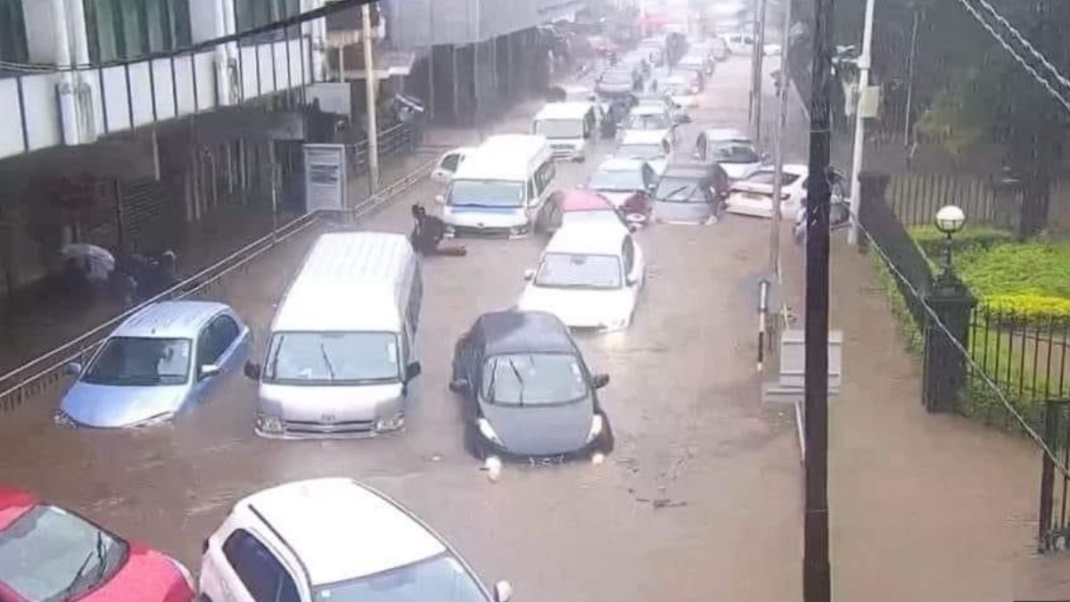
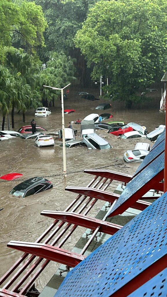
The public is strongly advised to take all necessary precautions and find shelter in safe locations. Belal’s active clouds will continue to impact the island’s weather, leading to overcast conditions with frequent heavy intermittent rain and thunderstorms. Consequently, torrential rain and subsequent flooding are expected in the coming hours.
Source: Facebook
In light of these conditions, the public is strictly advised to remain in safe places, avoid open areas and hiking, and refrain from seeking shelter under trees during thunderstorms.
Source: Facebook
Additionally, areas prone to water accumulation, river banks, and watercourses that may be flooded, as well as certain mountain slopes prone to landslides, should be avoided. Extreme caution should also be exercised on the roads due to reduced visibility caused by heavy rain and fog patches.
Source: Facebook
The wind is anticipated to blow from the north-northeast at speeds around 40 km/h, with gusts potentially reaching 100 km/h.
Sea conditions will be turbulent, with heavy swells and the possibility of coastal inundation along low-lying areas due to storm surge. It is imperative to avoid venturing out to sea and to stay away from beaches.
A Cyclone Warning Class III remains in effect for Mauritius. The next bulletin will be issued before 16:10.
Source: Mauritius Meteorological Office


