Politics
Satellite Images of Indian Military Base in Agalega Revealed

Despite the Mauritian government’s persistent denial of constructing a military base in Agalega, the Indian Defence Research Wing has reportedly confirmed the completion of the Indian military installation.
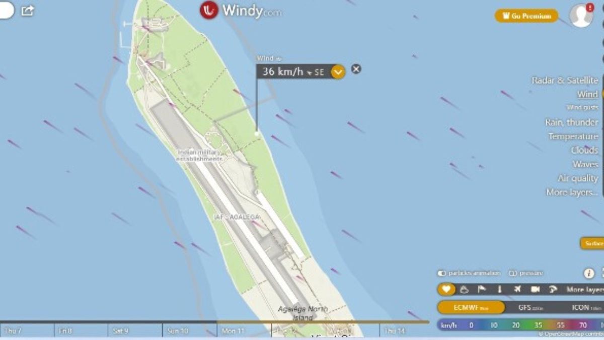
Citing idrw.org, l’Express said recent satellite imagery highlights its strategic significance, equipped with a port capable of accommodating destroyers and frigates.
According to the newspaper, the airbase features a critical 3-kilometre runway. It also includes climate-controlled hangars specially tailored for fighter jets and naval surveillance aircraft such as the P-8I.
These advanced Boeing P-8I aircraft, based on the Boeing 737, are said to play a pivotal role in various missions, including anti-submarine warfare.
During peacetime, they are employed for surveillance missions across the Indian Ocean.
Moreover, the Andaman and Nicobar Islands have reportedly been bolstered to support maritime patrol missions, further strengthening the Indian naval presence in this pivotal region.
As per the defence website, the Agalega region has served as a crucial area for the Indian Navy, asserting that the construction of military infrastructure is geared towards augmenting India’s maritime domain awareness.
Another ongoing development encompasses the deep-water jetty and structures that appear to be barracks for military personnel.
Source: L’express


