News
Coastal Alerts Issued as Waves Reach 4 Metres across Western Mauritius Shores
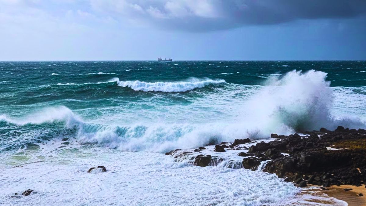
A heavy swell warning is in effect for Mauritius, with maritime authorities “strongly advising” against all sea excursions as waves are expected to reach heights of four metres.
The warning, issued by the national weather station, remains active until 4:00 AM this Sunday, 10 May 2026.
Experts have warned of very strong conditions in the open sea, with a significant risk of waves breaking onto low-lying coastal areas.
The Western and Southern regions of the island are considered the most vulnerable, particularly during periods of high tide.
Safety Advice
Fishermen, boat operators, and members of the public have been urged to stay out of the water.
Officials further recommend that beachgoers avoid coastal stretches entirely during high tide to mitigate the risk posed by the surging swells.
Local Weather Outlook
The current conditions are being driven by a cloud mass approaching from the east-south-east. Residents in the East, South, and across the Central Plateau can expect intermittent rain and cloudy periods throughout this morning and early afternoon.
However, meteorologists anticipate a gradual improvement in weather conditions as the day progresses.
Temperature and Wind
Temperatures today are expected to peak between 22°C and 25°C on the Central Plateau, while coastal regions will see highs of 27°C to 29°C.
Overnight, the sky is predicted to clear, with temperatures dipping to lows of 18°C in higher altitudes and 25°C along the coast.
Winds will persist from the east-south-east at approximately 25 km/h, though gusts could reach speeds of up to 50 km/h.
Source: Defi Media